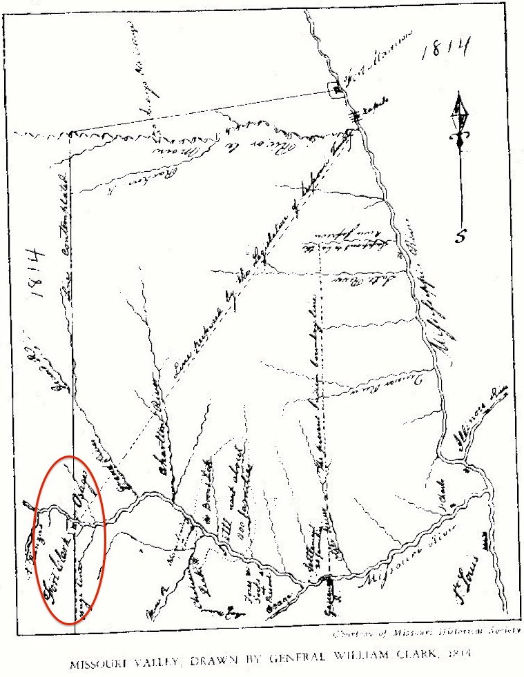
When Fort Osage was founded in September 1808, William Clark drafted a treaty with the Osage. Clark’s treaty line extended from Fort Osage on the Missouri River due south to the Arkansas River. In the 1808 treaty, the Osage gave up all lands east from Clark’s line to the Mississippi River. However, the Osage allowed a tract of land, two leagues square (36 square miles), west of the treaty line adjacent to Fort Osage for white settlement. The initial reason was to encourage farmers to settle and supply the new fort.
“And we do further cede and relinquish to the United States forever, a tract of land two leagues square, to embrace fort Clark [Fort Osage], and to be laid off in such manner as the President of the United States shall think proper (Treaty with the Osage, 10 November 1808).”
This block of land has traditionally been called the Six Mile area of Jackson County (as it was six by six miles in size) where some of the earliest Euro-American settlers established their farms. The pre-Civil War settlers of the Six Mile area tended to come from southern states like Virginia, Tennessee, North Carolina, and Kentucky. The citizens in this area largely sided with the Confederacy during the Civil War.